Unit 4: Changing Populations and Liveable Communities
Changing Populations in Canada:
Canada's population dynamics are shaped by various factors, including immigration, natural increase, and internal migration. Immigration plays a critical role in population growth, as Canada consistently welcomes newcomers to address labor shortages and enhance cultural diversity. Urban centers like Toronto, Vancouver, and Montreal attract the majority of immigrants due to economic opportunities and established communities. Meanwhile, rural areas face challenges such as population decline and aging demographics, as younger generations move to cities for education and employment. This shift creates disparities in resources and development between urban and rural areas. Policies aimed at encouraging regional immigration and improving infrastructure in undeserved regions are vital to addressing these challenges and ensuring balanced population distribution across the country.
Liveable communities are essential for fostering a high quality of life for Canadians. Factors such as affordable housing, accessible public transportation, green spaces, and robust social services contribute to making communities more liveable. Cities like Vancouver and Calgary are often ranked highly for their liveability, thanks to their focus on sustainability, urban planning, and public amenities. However, challenges such as housing affordability, traffic congestion, and climate change threaten the liveability of many urban areas. In response, Canadian cities are adopting strategies like mixed-use developments, investments in renewable energy, and improved public transit systems. By prioritizing inclusivity, sustainability, and innovation, Canada can create communities where all residents can thrive.
Liveable Communities in Canada
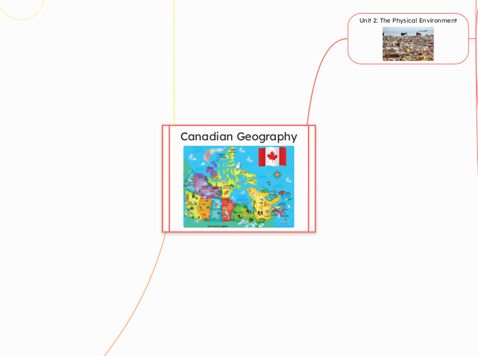
Canadian Geography
Unit 2: The Physical Environment
Natural Disasters in Canada
A natural disaster is the negative impact following an actual occurrence of natural hazard in the event that it significantly harms a community. The National Risk Index is designed to help communities understand their relative natural hazard risk and the impacts they could expect during or after a disaster.
Rocks on Earth
The rock cycle is a web of processes that outlines how each of the three major rock types igneous, metamorphic, and sedimentary form and break down based on the different applications of heat and pressure over time. For example, sedimentary rock shale becomes slate when heat and pressure are added.
Continental drift and Plate tectonics
Continental drift is a theory that continents drift, and the creator was a meteorologist called Alfred Wegener. This theory is believed in by a new theory of Plate tectonics. Plate tectonics are how land forms are created and there is some solid evidence to prove that these theories are real.
In some areas land is identical even though an ocean separates them. Fossils also match across oceans.
Land form regions in Canada:
Canadian Shield
The Western Cordillera
Canadian Arctic
The Appalachian Region
The Interior Plains
The Hudson Bay Lowlands
St.Lawrence Lowlands
Climate
Climate is the long term patterns for weather in an area, while weather is the day to day characteristics of the atmosphere.
Factors affecting climate:
Latitude plays a role in the climate of an area because latitude determines how far north or south
of the equator an area is.
Ocean Currents is a factor to consider for the climate of an area because warm or cold currents can change the climate.
Wind and Air Masses can affect climates in areas, because colder winds coming from Antarctica or the north pole can drastically change the weather patterns of an area.
Elevation is a factor that effects climates in an area due to the certain areas being closer to the sun.
Relief is the shape of a land. The shape of land can change climate patterns, especially mountains as mountains can regulate winds and precipitation.
Near water: Oceans and lakes help regulate temperatures to stay warmer during winter and cooler during summer.
Unit 3: Resources and industries
Resources and Industries
The story of Stuff
The story of stuff is a movement that teaches people the issues of having a linear system to handle resources. The story of stuff gives a detailed explanation of this liner process: Extraction – Production – Distribution – Consumption – Disposal
This movement encourages people to rethink their own consumption patterns and embrace more sustainable and conscientious lifestyles.
Climate Change
Climate change is a term used to describe the dramatic change in long term weather patterns in a global scale. Climate change happens because of of the enhanced greenhouse effect. The greenhouse effect is a natural process that happens when carbon dioxide goes into the atmosphere, but the enhanced greenhouse effect is when human enhance the amount of carbon that goes into the atmosphere. The greenhouse effect makes earth warmer and it is essential for life on earth, but the enhanced greenhouse effect causes global warming and climate change which is devastating to places worldwide.
Facts on climate change:
. For the past 10, 000 years the climate has stayed the same, but now the climate is rising
. Worldwide average temperature is likely to rise between 1.4 degrees Celsius to 5.8 degrees Celsius by 2100
. In the Canadian arctic temperatures may rise up to 14 degree Celsius by 2080
. During the last ice age the world was only about 4 to 6 degree Celsius colder than it is now so imagine how devastating 14 degrees warmer will do to the planet!
. Without the greenhouse effect the average temperature in the world would be -123 degrees Celsius colder
.To study climate, Climatologists analyse ice, trees, and old pollen for information
. Climate change is a social, economic, environmental, and political issue
. Economies are heavily based on fossil fuels so it isn't simple to end climate change and it is also not being prioritised
Greenhouse gasses:
Water vapour, Carbon dioxide, Methane, Nitrogenous oxide, Chlorofluorocarbons(CFC's), hydro fluorocarbons(HFC's)
Unit 1: Geographic Thinking
What is an issue?
Looking for issues while being geographers is very important because issues are problems that need to be fixed so that the environment stays stable. Sustainability in an environment is the most important factor within the environment, and issues threaten that same sustainability.
The most common types of issues in human communities are environmental, political, economic, and social/cultural issues. Environmental issues are problems that impact the environment in a severe way. Political issues are problems that affect the systems of a government, mayor, or prime minister. Economic issues are problems that affect the way communities make money. Social/cultural issues are problems that affect the way citizens act within a community.
The Geographer's Toolkit!
Geographic thinking is an important skill to be good at, as a geographer. To be good at geographic thinking you should keep in mind to always look for interrelationships, spatial significance, geographic perspectives, and patterns and trends. Looking for interrelationships is the same as looking for connections between an environment and the living things within that environment. When looking for spatial significance you would be asking questions such as why there, and why care? Geographic perspectives are very important to keep in mind when making decisions that can impact others. Looking for patterns and trends is something geographers will most likely spend most of their time doing.
The Canadian Identity!
Canada has ten provinces three territory's and 14 capital cities:
Ottawa, Canada
St John's, Newfoundland and Labrador
Halifax, Nova Scotia
Fredericton, New Brunswick
Charlottetown, Prince Edward island
Quebec city, Quebec
Toronto, Ontario
Winnipeg, Manitoba
Regina, Saskatchewan
Edmonton, Alberta
Victoria, British Columbia
Iqaluit, Nunavut
Yellowknife, Northwest Territory
Whitehorse, Yukon
Mosaic countries support the mix of ethnic groups, languages, and different cultures within a society. This type of system is the complete opposite of melting pot systems, and an good example of a Mosaic country is Canada!
Melting pot countries believe that their citizens should all learn and adopt the common way of living in that specific region. For example, Japan can be seen as a Melting pot country because its system endorses it's citizens to learn Japanese!
The study of Cartography!
Mapping is a skill that demands dedication and a certain degree of knowledge, to execute properly. To map out an area, it is first important to keep in mind what type of map you're planning to create! There are many types of maps, and there are also expectations on how a map should look like.
The most common types of maps are political, thematic, and topographic maps. Topographic maps show an area's elevation through contour lines. Thematic maps usually have a common theme to display the information of a region. Political maps show political, legal, jurisdictional or administrative boundaries in an area. All maps also have scales to show greater detail in smaller distances or vice versa. Large scale maps show a small region with great detail and small scale maps show large regions with a small amount of detail.. There are many more types of maps that I haven't described. Maps also have a certain criteria that most cartographer's deem to be acceptable. The criteria is, that all maps should contain the cartographer's name, a descriptive title, a direction indicator, a legend, a border, a scale, and clear labelling and colouring choices. Make sure to research on mapping choices to ensure proper mapping etiquette.
Longitude is an imaginary line, that is used to measure the distance in degrees east or west of the prime Meridian (0 degrees). Longitude can also be used to know time zones.
Latitude is an imaginary line, that is used to measure the distance in degrees north or south of the equator (0 degrees).


