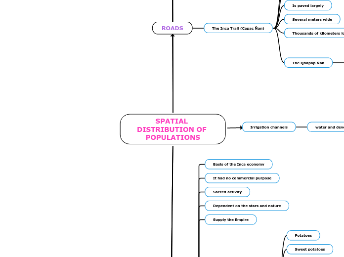
SPATIAL DISTRIBUTION OF POPULATIONS
AYLLUS
The core of the Inca Empire
Territorial structure
Territorial social
Was made up for four yours
Governed by
Suyoyuc Apu
In great quantity they were
A saya
A sector
Conformed Imperial council
Four Suyoyuc Apu
The Inca
LAND DISTRIBUTION
The Inca Empire
Was
Monarchical
Paternalistic
Their lands are divided into
The sun
The state
The town
The Lands of the Sun
Produce food
Offerings to the gods
Lands of the Inca or of the State
Provided food to
The Inca
His familY
The nobility
The officials
The servants
The armies in the field
The peoples
That they lost their crops.
The lands of the town
Intended for the ayllus
they distributed
farmer men
women farmers
ENGINEERING
The diversity
Development various technologies
Result
Most advanced culture from pre-Columbian South America
Machupichu
BRIDGES
Pendants
Of logs
Of stones
Oroya
Floating bridges
ROADS
The Inca Trail (Capac Ñan)
They built a stone base
Path a zigzag shape
Is paved largely
Several meters wide
Thousands of kilometers long
The Qhapap Ñan
30,000 km
Purpose
Comertial
Transport
defense
Irrigation channels
water and development
Dams
Storing rainwater
Aqueducts
They carried water to the stone fountains
Channeling of rivers
In order to prevent floods,
Farming
Basis of the Inca economy
It had no commercial purpose
Sacred activity
Dependent on the stars and nature
Supply the Empire
Cultivated about 70 species
Potatoes
Sweet potatoes
Corn
Chili
Cotton
Tomato
Peanut
Coca
Quinoa
The techniques
They built terraces
They built canals
To water
Use the plow
They fertilizers
Metallurgy and goldsmith
Gold
Was property of the gods
No monetary value
Ceremonial use
Dedication of the incas
Riparian mining
MANUFACTURE
Pottery
Colors
Purple
Orange
White
Black
Red
Form
Geometric
Bars
Circles
Triangles
Fused local styles
Massive production
TEXTILES
Express the thought
The chacana
symbolizes the four “suyos”
Designs
Rectangular
Square
Symmetrically
Dark background
Design of light color
Elements
Fiber
Yarn
Dyeing
Camelid skins
