realizată de Yennifer Viscarra 4 ani în urmă
928
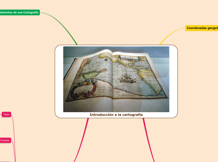
Introducción a la cartografía

realizată de Yennifer Viscarra 4 ani în urmă
928

Mai multe ca acesta
Type the main events of the book, classifying them in: events from the beginning, events from the middle, and events from the end of the book.
Describe the story visually. Add a representative picture for each of them.
Type the main events from the end.
Add a representative picture for each of them.
Type the main events from the middle.
Add a representative picture for each of them.
Type the main events from the beginning.
Add a representative picture for each of them.
Take notes while you read the book. Type here the resources, books, or websites that the author mentioned and you want to check out later.
Curvas de nivel
Unen puntos con la misma altura, son equidistantes. Suelen ser ellas las únicas que llevan indicación de la altura en el propio mapa.
Formas de representar el relieve
Mapa cromáticos
cada intervalo de altura se representan con un color diferente.-
Mapas de isopletas
unen puntos con las mismas alturas
Tipos de Proyecciones Cartográficas
Por superficie
Conica, cilindrica, azimutal.
Por propiedades
conforme, equivalente, equidistante.
Por la posición
Normal o polar, transversa o ecuatorial, oblicua.
Tipos de Escalas
Escala grafica
Indica mediante segmentos la distancia real que corresponde a cada uno de ellos
Escala numérica
Indica la relación entre la realidad y el mapa en forma de cociente.
What is the reason why the author wrote the book?
En el que las coordenadas astronómicas (las del elipsoide) y las geográficas (las de la Tierra) coinciden.
Normalmente de un elipsoide, en una zona determinada, y permite calcular posiciones y areas de una manera consistente y precisa.
Cordenadas geográficas
Who is the author of the book? Type in his/her name.
Subtopic