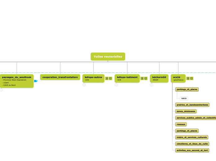
Tuiles vectorielles
tuile_vectorielle
- auteur de la donnée
calque = shapefile
[point]
champ
valeur
calque = shapefile
[ligne]
calque = shapefile
[surface]
calque = shapefile
[image]
secteur_d_enjeux
- CAUE du Nord
secteurdenjeux-elt
[surface]
secteurdenjeux-str
[surface]
secteurdenjeux-sit
[surface]
secteurdenjeux-ter
[surface]
secteurdenjeux-grdter
[surface]
enjeu
m-ouvrage
id-action
id-organis
socle_geographique
- CAUE du Nord
soclegeo-elt-lign
[ligne]
soclegeo-str-surf
[surface]
soclegeo-str-lign
[ligne]
soclegeo-str-poin
[point]
soclegeo-sit-surf
[surface]
soclegeo-sit-lign
[ligne]
soclegeo-sit-poin
[point]
soclegeo-ter-surf
[surface]
soclegeo-ter-lign
[ligne]
soclegeo-ter-poin
[point]
soclegeo-grdter-surf
[surface]
titre
theme
eau
plan_d_eau
humidite
socle
plateau
vallee
notion
hierarchie
strate
sous-sol
sol
relief
hydrographie
enjeu
typologie
soclegeo-grdter-lign
[ligne]
soclegeo-grdter-poin
[point]
structure_humaine
- CAUE du Nord
structhum-elt-surf
[surface]
structhum-elt-lign
[ligne]
structhum-elt-poin
[point]
structhum-str-surf
[surface]
structhum-str-lign
[ligne]
structhum-str-poin
[point]
structhum-sit-surf
[surface]
structhum-sit-lign
[ligne]
structhum-sit-poin
[point]
structhum-ter-surf
[surface]
structhum-ter-lign
[ligne]
structhum-ter-poin
[point]
structhum-grdter-surf
[surface]
titre
theme
notion
compacite
porosite
developpement
disparition
intermodalite
maillage
zone
secteur
protection
transition
rupture?
reservoir?
hierarchie
epoque
enjeu
typologie
usage
date
structhum-grdter-lign
[ligne]
notion
axe
developpement
disparition
canalisation
flux
trame
cheminement
porosite
frontage
limite
liaison
connexion
typologie
structhum-grdter-poin
[point]
notion
typologie
administration-guerre-economie
- CAUE du Nord
etatmajor-vecteur
- Département du Nord
cooperation_transfrontaliere
bdtopo-autres
-IGN
bdtopo-batiment
-IGN
bdcharm50
-BRGM
social_spaces_land_use
-LINKUP
social_spaces_land_use-elt
[surface]
social_spaces_land_use-str
[surface]
orientation
- CAUE du Nord
orientation-elt-surf
[surface]
orientation-elt-lign
[ligne]
orientation-elt-poin
[point]
orientation-str-surf
[surface]
orientation-str-lign
[ligne]
orientation-str-poin
[point]
orientation-sit-surf
[surface]
orientation-sit-lign
[ligne]
orientation-sit-poin
[point]
orientation-ter-surf
[surface]
orientation-ter-lign
[ligne]
orientation-ter-poin
[point]
orientation-grdter-surf
[surface]
titre
theme
notion
hierarchie
enjeu
id-piste
orientation-grdter-lign
[ligne]
notion
orientation-grdter-poin
[point]
notion
planification
- CAUE du Nord
planification-elt
[surface]
planification-str
[surface]
planification-sit
[surface]
planification-ter
[surface]
planification-grdter
[surface]
titre
priorité
m-oeuvre
id-realisa
id-organis
mnt-relief
- ???
premiere_guerre_mondiale
socle
socle
classique
Eau
composition
economie
relation
deplacement_et_reseau
densite
economie
deplacement_et_reseau
composition
relation
abandonné
socle_geographique (v1)
source
[point]
point_haut
[point]
cours_d_eau_naturel
[ligne]
ligne_de_partage_des_eaux
[ligne]
courbe_de_niveau
[ligne]
derniere_transgression_marine
[ligne]
plateauvallee-ter
[surface]
plateauvallee-sit
[surface]
type
bassin_versant-grdter
[surface]
bassin_versant-ter
[surface]
bassin_versant-sitoutstr?
[surface]
cordon_dunaire
[surface]
geologie_simplifiee
[surface]
unites_morphologiques
[surface]
administration-guerre-economie (v1)
front
[ligne]
flux_commercial
[ligne]
ressource_eco
[surface]
epoque
type
production_eco
[surface]
epoque
type
bassin_textile
bassin_metallurgique
bassin_industriel
consommation
[surface]
administration
[surface]
epoque
type
allemagne
allies
pays_allies_occupes
pays_neutres
territoires_convoites
provinces_unies-1648
provinces_unies-1713
principaute_de_liege
royaume_de_france-1626
royaume_uni
royaume_de_france-1678
saint_empire_germanique
zone_detruite
[surface]
epoque
type
sans_dommage
moindrement_touchee
dommage_important
completement_devastee