Mallar > Geografi >

World Countries Template

World Countries Template

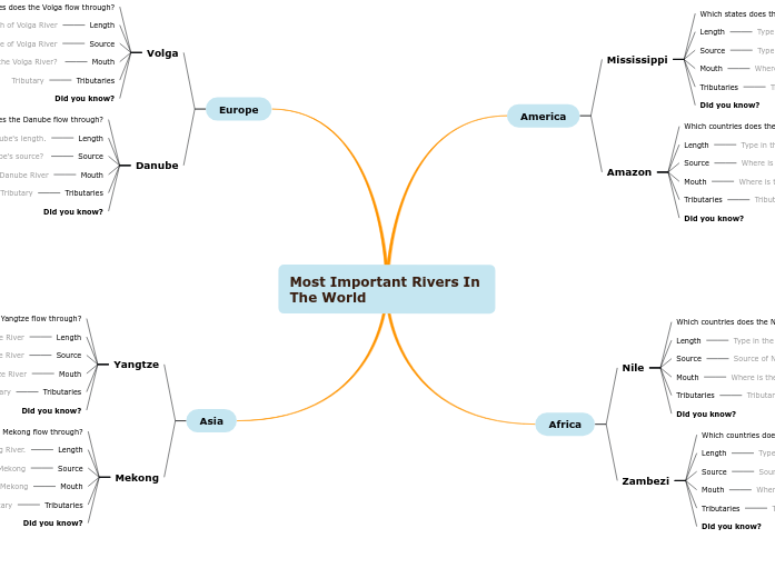
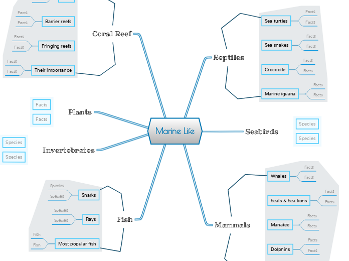
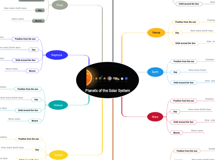
Collect and organize information about the geographical features of a country/state/county.

Keywords: Geography, country features, learning countries, geographical features

World Countries Template

Learn countries of the world

Learn countries of the world by completing this template with characteristics about each country. For example, think about geographical features like the length of the rivers, the height of the mountains, what are the neighbors, etc.

Also, after you choose the country you are going to analyze, respond to questions like the ones below:

On which continent is this country located?

What are the Main Physiographic Divisions of this country?

What are the languages spoken in this country?

What is the climate of this country?

What are the major cities of this country?

What is the population of this country?

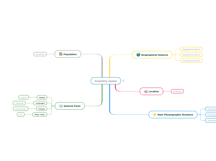
Country name

Keywords: countries, states, geography, cities, capital city, climate, physiographic divisions


Write the name of the country/state/county you are going to analyze. Then add a representative image.

General Facts

Think about this general facts about Country name.

Major Cities
City

A major city from Country name

Climate
Climate type

A climate type from Country name

Languages
Language

A language spoken in Country name

Capital

The capital of Country name

Population

What is the population of Country name?

The number of people living in Country name

Main Physiographic Divisions

Physiographic regions of the world are a way of defining Earth's landforms into distinct regions.

What are the Physiographic regions of Country name?

Psysiographic Division

Location

What is the continent where Country name is located?

Continent

Geographical features

Add geographical features of Country name. They can be related to the length of the rivers, the height of the mountains, what are the neighbours etc.
Geographical feature

Add a geographical feature. It can be related to the length of the rivers, the height of the mountains, what are the neighbours etc.
Varför använda en Mindomo mind map-mall?

Tankekartor hjälper dig att brainstorma, skapa relationer mellan begrepp, organisera och generera idéer.

Mallar för mind maps är dock ett enklare sätt att komma igång, eftersom de är ramverk som innehåller information om ett specifikt ämne med vägledande instruktioner. I grund och botten är mind map-mallar en struktur som kombinerar alla element i ett specifikt ämne och fungerar som en utgångspunkt för din personliga mind map. De är en resurs som ger en praktisk lösning för att skapa en mind map om ett visst ämne, antingen för företag eller utbildning.

Mindomo ger dig smarta mind map-mallar som gör att du kan fungera och tänka utan ansträngning.

En mall har olika funktioner:

Beskrivande ämnen

Ämnen med bakgrundstext

Standardgren

Ta bort malldata

Du kan välja mellan en mängd olika mind map-mallar från Mindomos konton för företag eller utbildning, eller så kan du skapa dina egna mind map-mallar från grunden. Varje mind map kan omvandlas till en mind map-mall genom att lägga till ytterligare vägledande kommentarer till ett av dess ämnen.